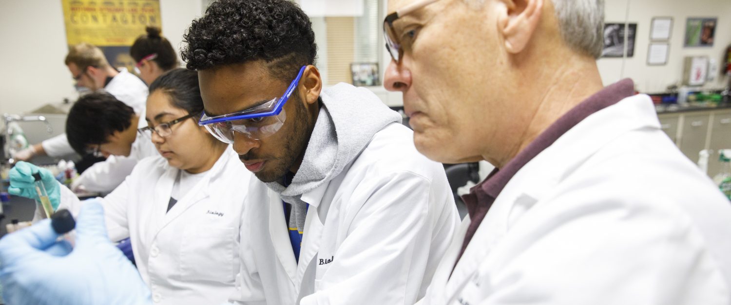
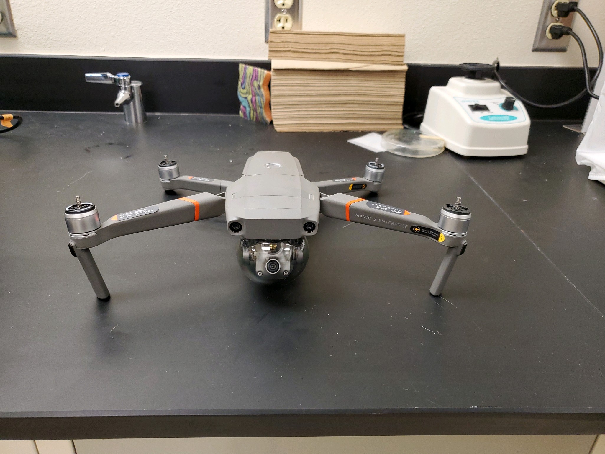
Well our Drone has finally arrived! We still will need our FAA Training and License, but we have been practicing with our $25 Drones to get used to the controls.
We will have more stories and even some videos, so keep checking back.
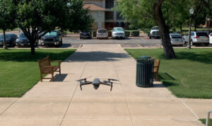
Multiple research teams would like to incorporate aerial surveys of habitats and sample gathering areas with a drone outfitted with both a thermal and standard camera. The primary purpose of a drone would be to provide an aerial camera platform to capture images of the landscape or of animal activities. Using a standard camera lens, the research team participants would develop a flight plan to image the entirety of our field station, Firebase Libby. Monthly flights would allow students participating on the Brant Scouts research team to collect and analyze images to determine changes in canopy cover through the year or the prevalence of particular species of plants (depending on color changes due to flowering or leaf maturation). Using drone images would be much more cost effective and timely when compared to the availability of satellite images or other aerial images. Using a thermal lens, research teams could endeavor to track large mammal species (feral hogs and deer) and gain insight into their movements and population size. This lens will also be useful for documenting smaller mammal and bird species (raccoons, coyotes, hawks, songbirds, rodents, etc.)
In addition to the research uses by the Brant Scouts, the drone would also have applications for other research teams, such as the Blackwell Lab (environmental contamination surveys) and Crab Boyle (crab and lake habitat studies). Video captured by the drone would be useful in documenting landscape changes resulting from potential experiments in sustainability. The drone would be useful in mapping the shoreline of lakes and potentially determining shallow vs. deep lake habitats as well as for characterizing habitat composition around sampling locations for various projects.